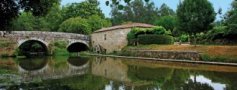


Cerquido Village Route


The Cerquido Village Path – from the Valley to the Mountain Range is a footpath known as a short route. The respective markings and signs conform to international standards. The path aims to provide a historical and geographical narrative of the territory to be explored through the interpretation of settlement models in different historical periods, beginning at the Limiano Valley toward the southeast slope of the Arga Mountain, and then to the place of Cerquido in Estorãos parish.
We begin the route next to Pentieiros Estate, an agricultural and lumbering acquisition by the Ponte de Lima Municipality within the recovery project of the Protected Landscape Area of Bertiandos St. Pedro de Arcos Ponds. The farm, which can be visited for a symbolic value, includes associated housing, recreation and leisure equipment, as well as an educational farm concentrating several infrastructures and equipment for the demonstration of agricultural and forest techniques.
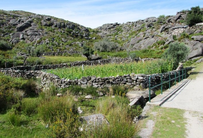
Follow the route instructions that will take us along the places of Paredes and Sangemondes, belonging to the parish of St. Pedro de Arcos, where we can appreciate the houses, much of them still in granite, with courtyards draped with vines conducted in the traditional layered fashion, as well as gardens and orchards, typical of these rural areas. At the end of the place of Sangemondes, turn right, and pass under the A27 viaduct, thereby entering the dirt, forest road toward the barracks of St. Justa and Arga Mountain Range.
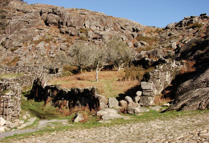
From the barracks of St. Justa, at 450m altitude, we catch sight of the Lima River Valley until its estuary and witness four levels of use of the mountainous areas: i) the basic level, in the alluvial plain of the Lima River, dominated by irrigated cultures ; Ii) the level of permanent crops (e.g. vineyards, orchards and olive groves), with a more dispersed pattern of distribution; iii) the forest level, which develops an altimetry, intermediate ring with maritime pine and eucalyptus for afforestation, interrupted by small copses and galleries of native species; and iv) the upper forest level, an area predominantly used for foddering and with thickets.
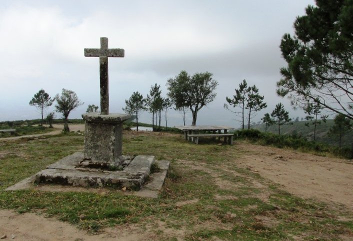
The old barracks, linked to popular legend of two sisters’ martyrdom, Justa and Rufina and which include St. Justa Chapel, suffered a deserved requalification and gained new life, becoming an active Interpretation Center for experiencing Nature.
Resuming the route we head to the place of Cerquido, Parish of Estorãos, passing by the Água Levada brook, a place that stands out due to the transformation of the landscape as a result of mining, a capital activity in the history of this territory. The mining landscape contains memories of the chemical element wolfram, due to practices of a time dedicated to mining in the region and ways of life in search of the called ""black gold.""
The route ends at the place of Cerquido, near the Cerquido Mountain House, a tourism housing unit in rural areas. The place is characterized by mountain landscape, with granite that extends to Our Lady of Minho, traditional, cultivated terraces, the houses, the streets and the rivers that cross it. With a privileged, geographic location on the slopes of the Arga Mountain Range, the place is a must see for lovers of bucolic nature.
Download the file: