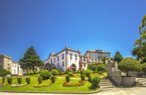


Park Route


The Park Route is a footpath known as the short route. The respective markings and signs conform to international standards. The course is mainly within the Protected Area (PA) of influence of the Bertiandos and St. Pedro de Arcos ponds, allowing for contact and interpretation of the boarded up area, including its natural values.
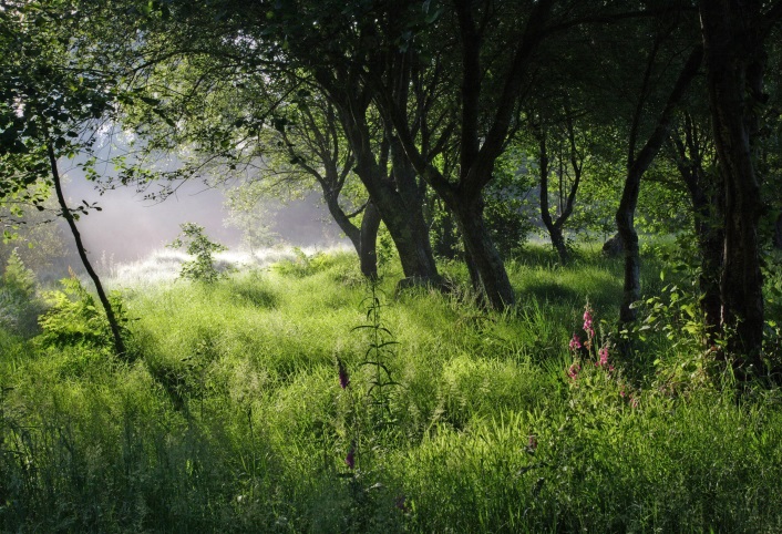
The route starts near the bridge of Esteiro, architectural element built during the XVI or XVII century, near the border area between the plains, an agricultural development zone and the locally designated preserve, which covers the central area of the PA. This area is characterized by alternating scenery of open spaces, associated with areas of rangeland, and closed spaces of dense arboreal vegetation-based oaks, alders, willows and birches.
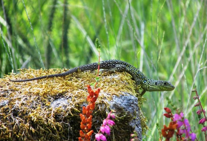
The forestry activity undertaken here, in view of the exploitation of the forest, is mainly composed of indigenous species, essentially aiming to obtain wood for the thermal heating of homes. The inhabitants of Bertiandos found in tis boarded up area the only existing wooded space in the parish. The route follows a stone paved trail which is remarkable in the spring / summer due to the brightness and freshness of the woods, filled with sounds of numerous species of birds of the PA.
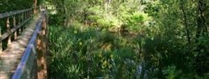
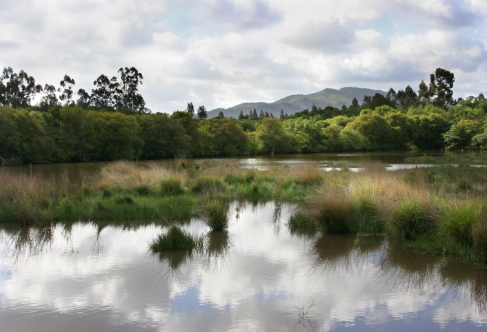
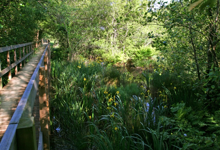
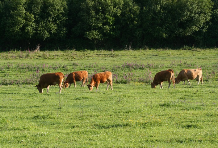
The forest is also a daytime shelter for different species of mammals such as foxes, wild boar, roe deer and mongoose. In the fall / winter, there is a stunningly large and chromatic variation of species of deciduous trees. Walk in and along a bridge, an elevated, wooden that will cross the area flooded by the overflow of the Estorãos River in flooded situations, which also includes close to the end, an observation post focused on a temporary lake formed by the waters of the Fujacos brook. From here head to the Environmental Interpretation Centre, through the Estorãos River towards one of the two PA ponds St. Pedro d’Arcos’ pond, which as the basis of the classification of the area as a wetland of International importance. After a brief stop at the pond’s observation station, we advise you enjoy the beautiful scenery afforded by the wetland and, if possible, observe the species’ of water birds, followed by a fork in the walkway, which must be taken and which covers an area of rangeland managed by the PA. Pastures, which are limited by hedges, were maintained for grazing for decades in the spring / summer for cattle of the Minho race. Along with the pressure exerted by cattle trampling and cutting of the vegetation - which interrupted the ecological succession thereby stunting the evolution of grassland to forest - special attention was given to the hedges, particularly in terms of their trimming. The hedgerows which were a source of firewood also contained cattle, not allowing them access to private property.
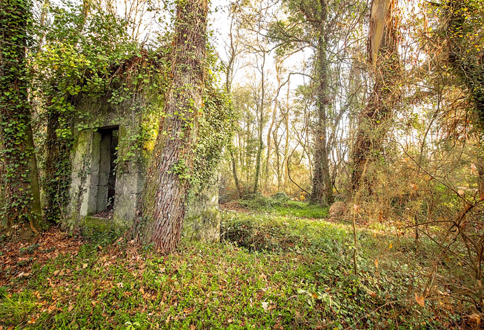
Leave the bridge, in the middle of the boarded up area and go along to a paved road that you should follow by turning right. Cross over the Estorãos River and continue straight, amongst a beautiful tunnel of vegetation until you reach the ruins of a water mill, known as Matias mill. Turn right and a few meters ahead is the point where the route started.
Download the file: