
The Meadow Route
The Meadow Route or Route of the Fertile Valley is a footpath known as the short route. The respective markings and signs conform to international standards. The course is mainly within the Protected Area (PA) of influence of the Bertiandos and St. Pedro de Arcos ponds, allowing for a better understanding of the natural zone of the fertile valley and its values.
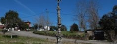
We leave the Environmental Interpretation Center (EIC) and follow the route that leads to a place of forest production, installed on the hill, where the arboreal autochthone vegetation forms a protective band around the pond of St. Peter d' Arcos, a rare biotope that led to its classification of Protected Area as a wetland of International Importance.
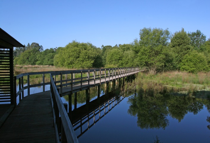
In the proximity of the walkway turn left, following a path that leads to a washboard. Take the tarred road, in a descending direction, until finding a new path in direction of the fertile valley of the corktrees.
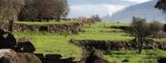
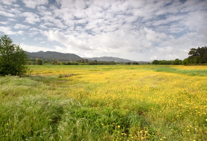
In fertile valleys - fertile and plain lands that are located adjacent to the edges of the water courses - agriculture is Man’s main activity. In these areas the succession of the culture of maize is undertaken in the spring and summer seasons whilst rye-grass is grown in the autumn/winter months and we are able to find small spots of vine in bordered fashion or like dispersed olive groves.
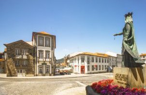
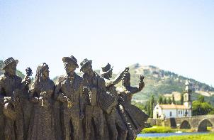
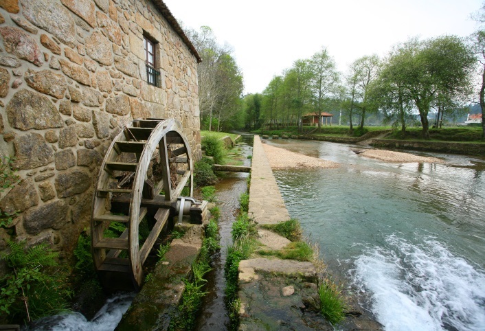
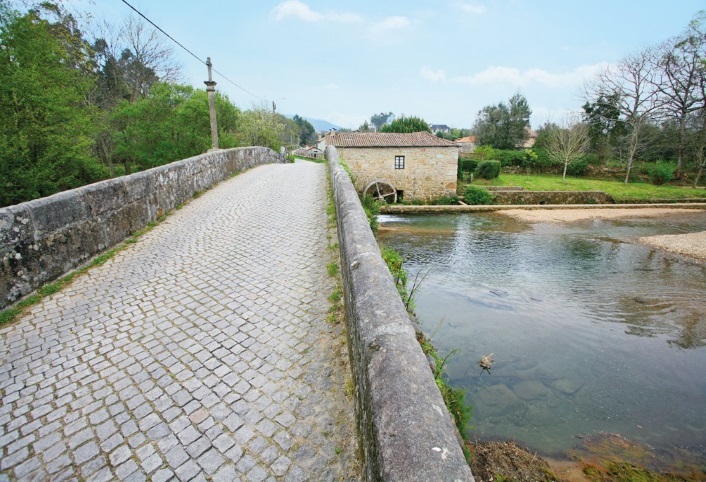
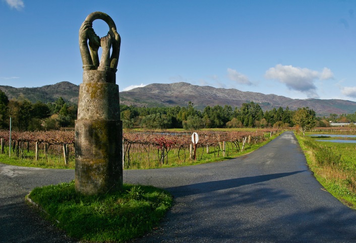
Retake the route with the fertile valley on your right, until the old facilities of the Co-op of Estorãos, constructed within the scope of the first project of national land consolidation undertaken during the 60’s. Go straight, crossing the place of Tenães, a small, grouped development associated to segmented and complex agricultural systems in order to enter, in accordance with the indications of the route, onto the stone-paved walkway that will lead you to the bridge and mill of Estorãos. Leave the marginal landscape, crossing the bridge in direction to the fertile valley of Lousa, which begins right after the viaduct of the A27. In this agricultural area, you will find signposting pointing to the irrigated land of Estorãos, whose water comes from the sum, effected water collection from the river Estorãos. You will arrive at the Statue of the Four Hands, symbol of the union between four parishes in face of serious subsistence problems, turn right, returning to the Estorãos River.
Enter the fertile valley of the Corktrees, where there is an observation post that allows you to appreciate the typical fauna of this landscape unit. The presence of working farmers is common throughout the year, undertaking innumerable and varied farming tasks required by the local, farming culture.
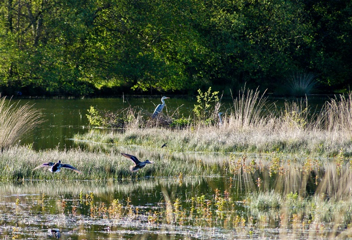
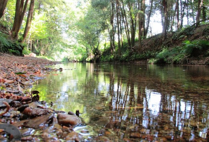
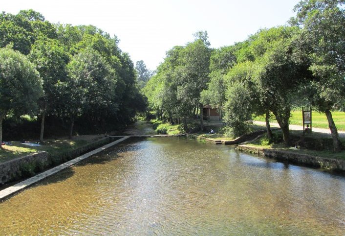
Following the indications of the route, leave the fertile valley, toward Freixa Bridge. Turn right and follow a parallel path to the river Estorãos, the main water course of the Protected Area. This biotope is vital for some species of fauna, nominated fish, such as the trout and the salmon, reptiles, like the snakes and water lizard, as well as mammals, like the otter and bats. During the walkway until the new stone bridge, you will be able to see the rich riparian gallery, as well as a set of measures adopted for the conservation of the edges of the river, in result of the disastrous intervention of sand and silt removal carried out in 1995.
Cross the bridge and, following the indications of the route, turn right and go along a parallel path to the so- called ditch of the State, toward the EIC.
Download the file: